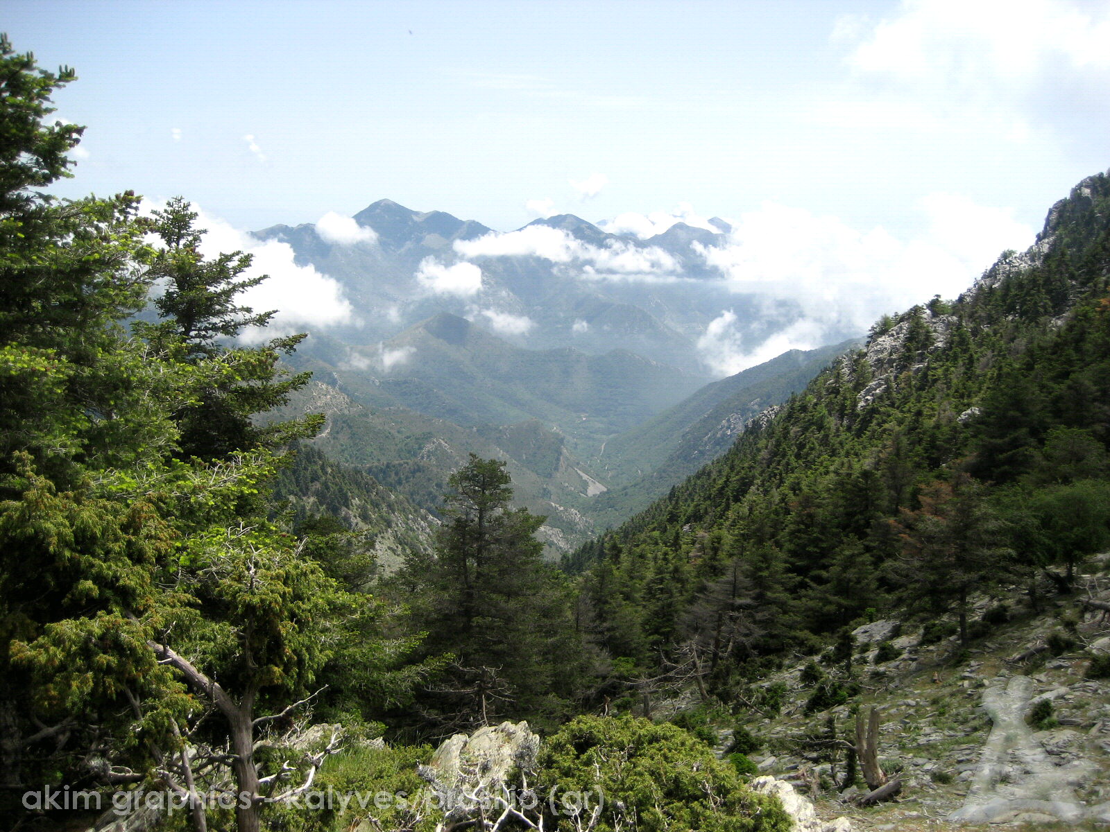
54. Taÿgetos
The Taÿgetos is a mountain range/ridge that starts about 40 km north of Kalamata and runs to the southern tip of the Mani. Most of the Taÿgetos is part of the Mani and the highest part is between Kalamata and Kardamyli with the summit being the Profitis Ilias, altitude 2405 m.
This photo was taken from a few km southwest of the Prof.Ilias and looks south over the valley where the village of Kastania (Mess.) is located further away .